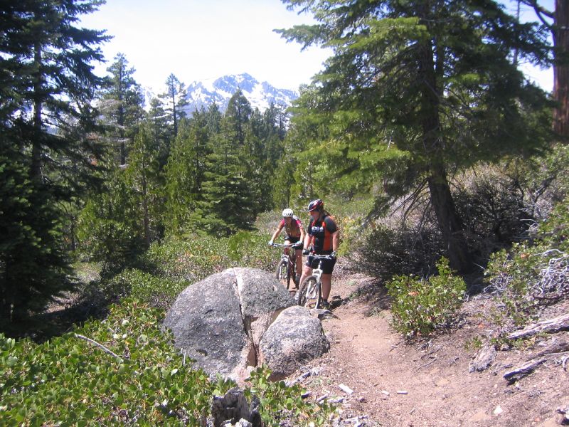
 Here's a picture from May of the area that the Angora Fire (the fire currently burning near Lake Tahoe) has already burned. As you can see, there was plenty of fuel for the fire. I'm glad Jeff F. showed us these trails, and that we had a chance to ride them before they were gone. It's funny to think back to May when we were discussing the homeowners vs. the mountain bikers. New homes were encroaching into the existing trails. Mother Nature settled this argument.
This is the fire perimeter map as of last night.
This google maps link shows more detail (although I'm not sure how long the link will work...).
More pictures of the area before the fire HERE.
Some random pictures from Flickr people HERE and HERE.
No comments:
Post a Comment